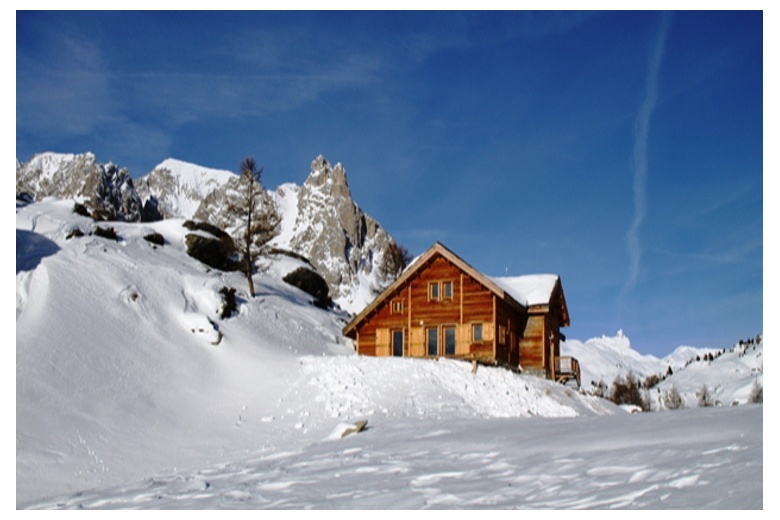
Day 1:
Departure from Valmenier ski resort (1800m) - Croix de la Portète – Refuge Terre Rouge (2182m).
Duration : 2h
Elevation gain : +382m
Day 2 :
Refuge Terre Rouge (2182m) - Col de la Chapelle (2943m) – Mont Thabor (3178) – Refuge I Re Magi (1760m).
Duration : 5h
Elevation gain : +996m
Day 3 :
Refuge I Re Magi (1760m) - Pont de la Fonderie (1920m) - Col du Vallon (2645m) – Descends into the Vallon basin in the Ville Haute (1600m) - Chapelles de Lacou (1770m) - Refuge Buffère (2076m).
Duration : 6h
Elevation gain : +1380m
Day 4 :
Refuge Buffère (2076m) – Le bois de Sully (2221m) - Tête de la Cassille (3069m) – Refuge Laval (2010m).
Duration : 5h
Elevation gain : +993m
Day 5 :
Refuge Laval (2010m) - Col de Névache (2794m) – descends to Valmeinier (1800m).
Duration : 4h
Elevation gain : +784m
Included:
Not included:
General Information:
For the outdoor activity that you plan to be successful it is very important that it accommodates to your level, both physical and technical. Here we present some guidelines so that you can get an idea of what your level is according to the programs we propose. However, we recommend reaching to us so we can help you personally and adapt the program to your conditions.
TECHNICAL level
FITNESS level
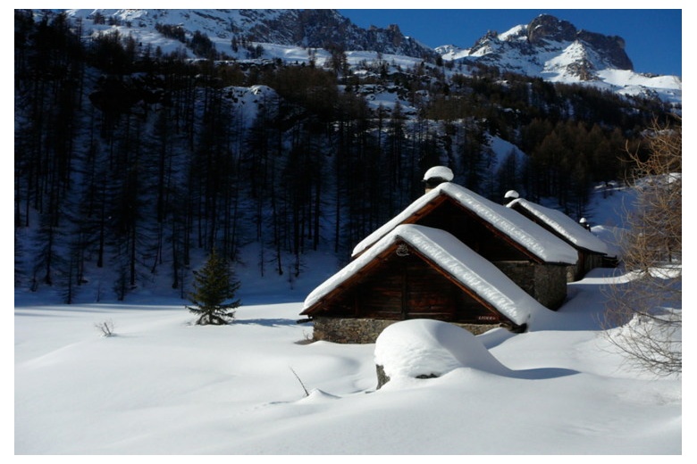
Being a very open valley, despite its peak altitudes above 2300m and being the Mont Thabor 3178m the highest in this region, it is still a very sunny valley, so the sun clocks are a very popular tool in this area, as well as the numerous hermitages that we will find in any of the itineraries that we choose.
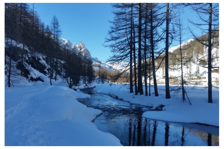
In winter, these beautiful places are covered in snow and are consciously used by the French cross-country ski team, with their more than 65 km of trails, these elite athletes have enough space to do their workouts.
In the adjacent valley, the Etroite, is where you will find the famous crossings, such as the Tour du Mont Thabor, GR 57 and the Great Crossing of the Alps. The good conservation and economic activity of the area, traditional livestock, agriculture and forestry, have contributed to the magnificent conservation of the landscape.
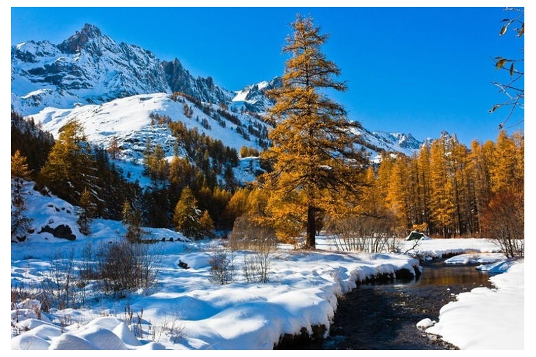
The valley of Clarèe is located on the Franco-Italian border, getting its name from the same river that runs through it. On the east side, its peaks hover around 2400m altitude, while on the west, reach altitudes between 2800 and 2900m, this echo slows snow melting and gives its name to the central commune Névache (snowy), the highest population of the Clarèe valley located at 1620m altitude.
