SKI TOURING IN MONT THABOR

Day 1:

Departure from Valmenier ski resort (1800m) - Croix de la Portète – Refuge Terre Rouge (2182m).

Duration : 2h

Elevation gain : +382m


Day 2 :

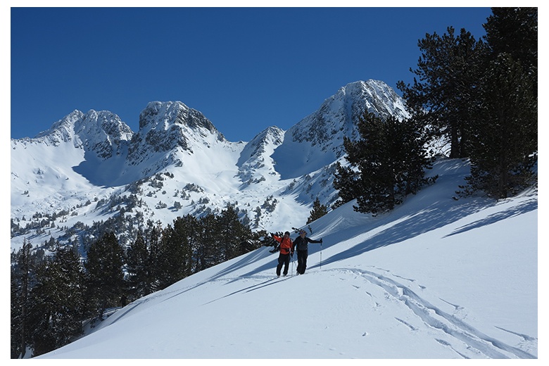
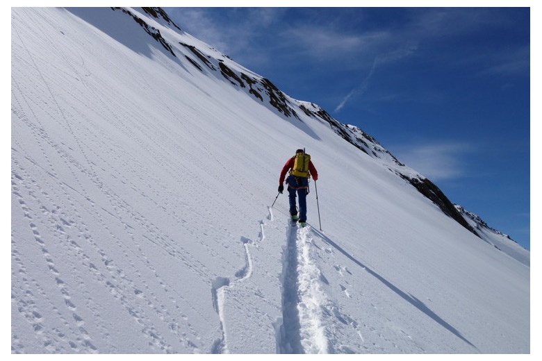
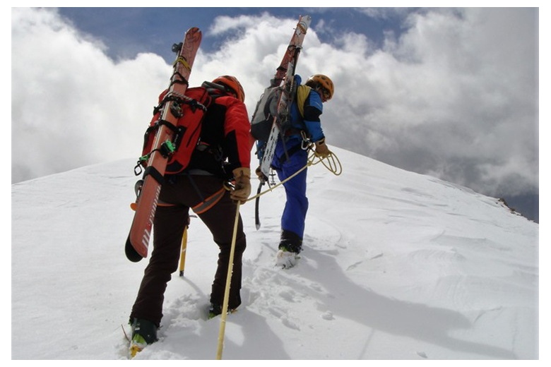
Refuge Terre Rouge (2182m) - Col de la Chapelle (2943m) – Mont Thabor (3178) – Refuge I Re Magi (1760m).

Duration : 5h

Elevation gain : +996m


Day 3 :

Refuge I Re Magi (1760m) - Pont de la Fonderie (1920m) - Col du Vallon (2645m) – Descends into the Vallon basin in the Ville Haute (1600m) - Chapelles de Lacou (1770m) - Refuge Buffère (2076m).

Duration : 6h

Elevation gain : +1380m


Day 4 :

Refuge Buffère (2076m) – Le bois de Sully (2221m) - Tête de la Cassille (3069m) – Refuge Laval (2010m).

Duration : 5h

Elevation gain : +993m


Day 5 :

Refuge Laval (2010m) - Col de Névache (2794m) – descends to Valmeinier (1800m).

Duration : 4h

Elevation gain : +784m

Included:

  • UIAGM/AEGM Mountain Guide Services.
  • Personal advices prior the tryp.
  • Half-board hut accommodation during the route.
  • Reservations management services.


 Not included:

  • Travel to Valmenier
  • Snacks/drinks during the activity days of participants and/or guides.
  • Extra expenses due to program variations of members and guides.


 General Information:

  • Each participant must have the current year's federal mountain license, valid for mountain skiing in the Alps.
  • The practice of mountain skiing poses dangers. Each participant on this journey assumes responsibility individually.
  • The mountain guide reserves the right to modify the program according to the climatic, nivological, group factor or any other cause that he believes may be decisive.
  • Touring skis (adjusted bindings)
  • Touring ski boots
  • Telescopic ski poles
  • Skins
  • Ski crampons


  • Snow shovel
  • Probe 240cm
  • DVA (charged batteries)


  • Ski carry backpack
  • Helmet
  • Ice axe
  • Ski boots crampons


  • Goggles
  • Thin ski gloves
  • Thick ski gloves
  • Buff
  • Hat
  • Sunglasses
  • Hat
  • Sun cream 50+
  • Lip balm 50+


  • Touring pants/Thin Gore-Tex pants
  • Gore-Tex jacket
  • Primaloft
  • Fleece
  • Thermal t-shirt + spare
  • Medium thickness socks + spare


  • Snacks (sandwich, cereal bars, nuts,...)
  • 5l bottle of water


  • Mobile Phone
  • ID/Passport
  • Cash
  • Mountaneering Federation License valid for the Alps

For the outdoor activity that you plan to be successful it is very important that it accommodates to your level, both physical and technical. Here we present some guidelines so that you can get an idea of what your level is according to the programs we propose. However, we recommend reaching to us so we can help you personally and adapt the program to your conditions.


Ski touring & Freeride


    TECHNICAL level

  • 1 = Beginner. Never ski toured before. Is a regular ski resort skier that occasionally goes off-piste. Black runs are not a problem for its level.
  • 2 = Starter. Has experienced ski touring, climbing with skins (skinning). Is familiar with all the ski touring gear. Capable of uphill kick turning on not very steep terrain. Knows how to place and use ski crampons. Ski climbs safely through all kinds of snows on a trace. Skies down efficiently on ungroomed terrain, even on steep but wide slopes.
  • 3 = Intermediate. Regular touring skier,  . Trained on the basic techniques of skinning and uphill kick turn. Can change directions on slopes of 35º. Able to place ski crampons and crampons in an autonomous way. Skies down effectively on all kinds of ungroomed terrain and steepness.
  • 4 = Advanced. Masters the technique of skinning on slopes up to 40º - 45º. Moves safely with skins on steep and icy slopes. Basic knowledge of mountaineering, use of crampons and ice axe as well as rope work. Skies down safely on every snow condition and steepness.
  • 5 = Very advanced. Extensive experience in touring and mountaineering ski. Moves effectively changing direction on all kind of terrain, even on exposed places. Very good skier on every snow condition and steep terrain, as well as in exposed passages. Goes frequently on one-day or multi-day ski tours, spending the nights in huts. Familiar using the ice axe and crampons on all types of mountain domain. Knowledge and training on rope work, protection and self-arrest.
  •  

    FITNESS level

  • 1 = Able to ascend 600 meters of elevation gain skinning for 3 hours carrying a light backpack of about 5 kg.
  • 2 = Able to ski tour for 4 or 5 hours overcoming 800 meters of elevation gain with a backpack of about 5 kg at a 300 meters an hour pace.
  • 3 = Able to accomplish 5 to 7 hours routes and 1000 meters elevation gain with a backpack of about 7 kg at a 300 meters an hour pace.
  • 4 = Able to succeed on alpine routes of up to 8 hours and 1200 meters of elevation gain with a backpack of about 8 kg at a 400 meters an hour pace.
  • 5 = Able to carry out alpine routes of more than 8 hours long and between 1500 and 2000 meters elevation gain with a 10 kg backpack at a 400 meters an hour pace.

Next Dates :

Spring 2022

Description

Being a very open valley, despite its peak altitudes above 2300m and being the Mont Thabor 3178m the highest in this region, it is still a very sunny valley, so the sun clocks are a very popular tool in this area, as well as the numerous hermitages that we will find in any of the itineraries that we choose.

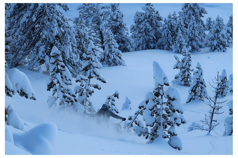
In winter, these beautiful places are covered in snow and are consciously used by the French cross-country ski team, with their more than 65 km of trails, these elite athletes have enough space to do their workouts.

In the adjacent valley, the Etroite, is where you will find the famous crossings, such as the Tour du Mont Thabor, GR 57 and the Great Crossing of the Alps. The good conservation and economic activity of the area, traditional livestock, agriculture and forestry, have contributed to the magnificent conservation of the landscape.

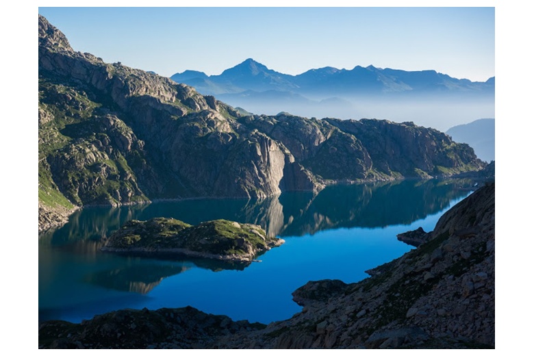
The valley of Clarèe is located on the Franco-Italian border, getting its name from the same river that runs through it. On the east side, its peaks hover around 2400m altitude, while on the west, reach altitudes between 2800 and 2900m, this echo slows snow melting and gives its name to the central commune Névache (snowy), the highest population of the Clarèe valley located at 1620m altitude.

LEVELS :

FITNESS
3
TECHNICAL
2

PEOPLE THAT LOOKED AT THIS PROGRAM WERE ALSO INTERESTED IN THESE ONES

logo tuc